You're logged in with MyAlex  |  Logout

City of Alexandria, VA

Search results cleared

Include archived pages
Most of the content here is written in English. Translate your search to find more content? Translating "" to English... Searching for English phrase ""
  • Live
  • Play
  • Services
  • Business
  • Government
  • Projects & Plans
  • Calendar
  • I want to…

Historic Alexandria Maps

View historic maps from 1624 to 1862.
Page updated on January 5, 2022 at 11:57 AM

Historic Alexandria

  • Historic Alexandria (Home)
  • City Museums
    • Alexandria Archaeology Museum
    • Alexandria Black History Museum
    • Alexandria History Museum at The Lyceum
    • Fort Ward Museum & Historic Site
    • Freedom House Museum
    • Friendship Firehouse Museum
    • Gadsby's Tavern Museum
    • Stabler-Leadbeater Apothecary Museum
  • Visit Other Historic Sites
    • African American Heritage Park
    • Alexandria Union Station
    • Contrabands and Freedmen Cemetery Memorial
    • Lloyd House
    • Murray-Dick-Fawcett House
    • More Historic Attractions in Alexandria
  • African American History Division
  • Alexandria Archaeology
  • Alexandria Community Remembrance Project
  • Alexandria Oral History Center
  • Archives & Records Center
  • Commissions Supporting Historic Alexandria
  • Educational Resources
  • Historic Alexandria Administration
  • History of Alexandria
    • Conducting Your Own Historic Research
    • African American History
    • Women's History
    • Discovering the Decades
    • Historic Alexandria Quarterly
    • Out of the Attic
  • Historic Preservation
  • Museum Store
  • News Releases
  • Plan your Visit
  • Rentals and Private Events
  • Self-Guided Tours
  • Stay Connected
  • Support Historic Alexandria
    • Make a Gift
    • Become a Member
    • Join a Commission
    • Volunteer and Career Opportunities

Share

Share on Twitter Share on Facebook
Translate icon
Translate icon
XWARNING: You have chosen to translate this page using an automated translation system. This translation has not been reviewed by the City of Alexandria and may contain errors.

Historic Alexandria Maps

Full-sized images of these maps can be found at the Library of Congress, Geography and Map Division, except as noted.
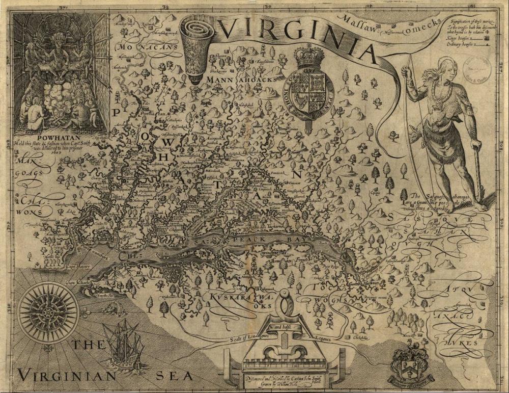
1624, Map of Virginia, John Smith (Library of Congress)
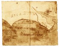
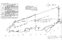
1746, Survey Plat (Book of Surveys, 1746, Fairfax County Courthouse)
1748, “Plan of the Land where on Stands the Town of Alexandria,” George Washington (Library of Congress)
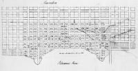
1749, “A Plan of Alexandria now Belhaven,” George Washington (Library of Congress)
1763, “Alexandria,” George West (Library of Congress
1782, “Amérique Campagne - Camp a’Alexandrie [sic],” Comte de Rochambeau (Library of Congress)
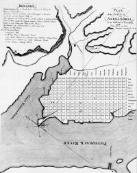
1798, “Plan of the Town of Alexandria in the District of Columbia,” Colonel George Gilpin (Library of Congress)
1862, Sneden Map of U.S. Forts and Batteries near Alexandria (Library of Congress)
of
Grid View Close Modal
1624, Map of Virginia, John Smith (Library of Congress)
1624, Map of Virginia
John Smith

"Virginia / discovered and discribed by Captayn John Smith, 1606; graven by William Hole," published London 1624.

Source: Library of Congress, Geography and Map Division.
Call Number: G3880 1624 .S541 Vault
Digital ID: g3880.ct000377
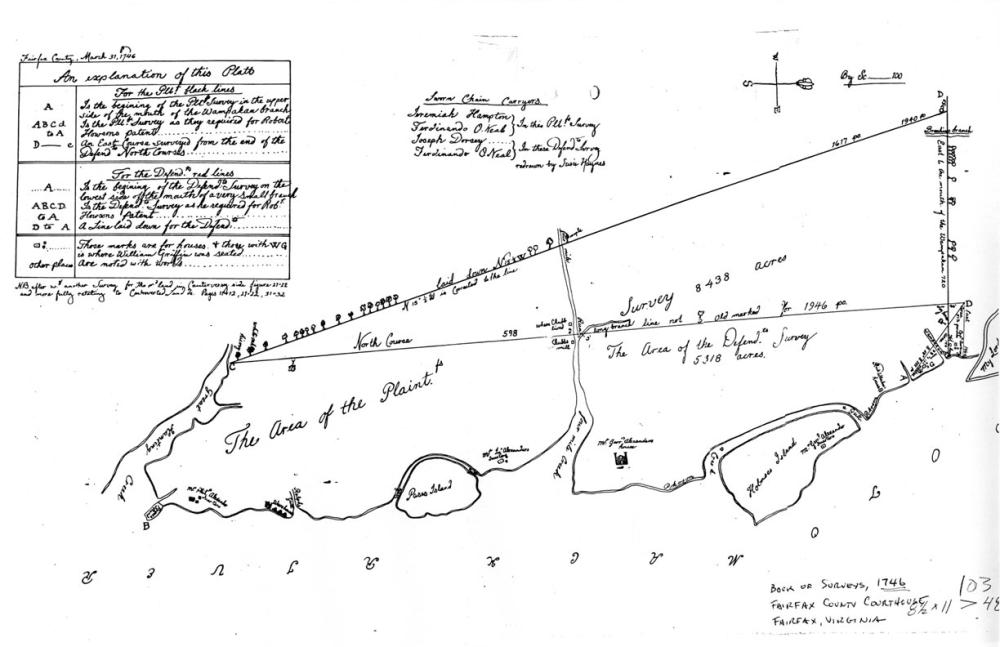
1746, Survey Plat (Book of Surveys, 1746, Fairfax County Courthouse)
1746, Survey Plat

Source: Book of Surveys, 1746, Fairfax County Courthouse
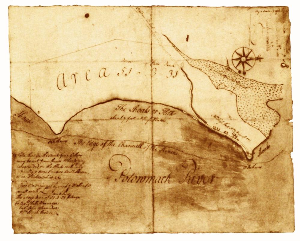
1748, “Plan of the Land where on Stands the Town of Alexandria,” George Washington (Library of Congress)
1748, Plan of the Land where on Stands the Town of Alexandria
George Washington

Source: Library of Congress, Geography and Map Division.
Call Number: G3884.A3 1748 .W3 Vault
Digital ID: (recto) g3884a.ct000368r; (verso) g3884a.ct000368v
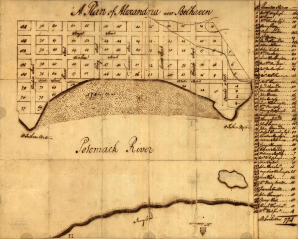
1749, “A Plan of Alexandria now Belhaven,” George Washington (Library of Congress)
1749, “A Plan of Alexandria now Belhaven”
George Washington

Source: Library of Congress, Geography and Map Division.
Call Number G3884.A4 1763.W4 Vault
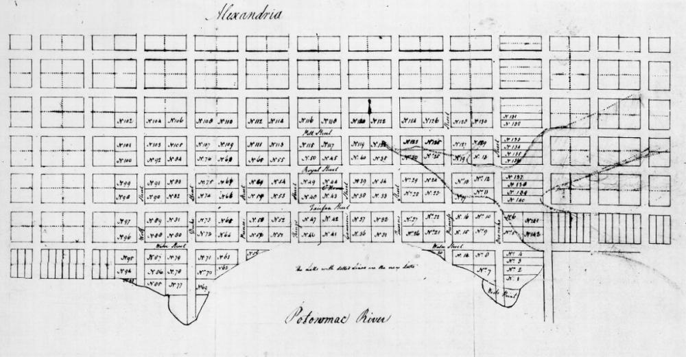
1763, “Alexandria,” George West (Library of Congress
1763, Alexandria
George West

Source: Library of Congress, Geography and Map Division.
Call Number G3884.A4 1763.W4 Vault
1782, “Amérique Campagne - Camp a’Alexandrie [sic],” Comte de Rochambeau (Library of Congress)
1782, Amérique Campagne - Camp a’Alexandrie [sic]
Comte de Rochambeau

From Amérique Campagne, an atlas of 40 maps

Source: Library of Congress, Geography and Map Division.
Call Number: G1201.S3 R65 1782 Vault : Roch 67
Digital ID: g3701sm gar00001
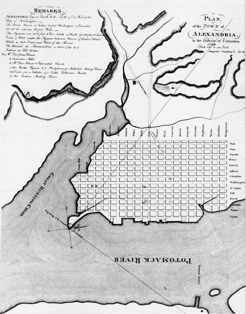
1798, “Plan of the Town of Alexandria in the District of Columbia,” Colonel George Gilpin (Library of Congress)
1798, Plan of the Town of Alexandria in the District of Columbia
Colonel George Gilpin

Source: Library of Congress, Geography and Map Division.
Call Number: G3884.A3 1798 .G5 Vault
Digital ID: g3884a.ct001432
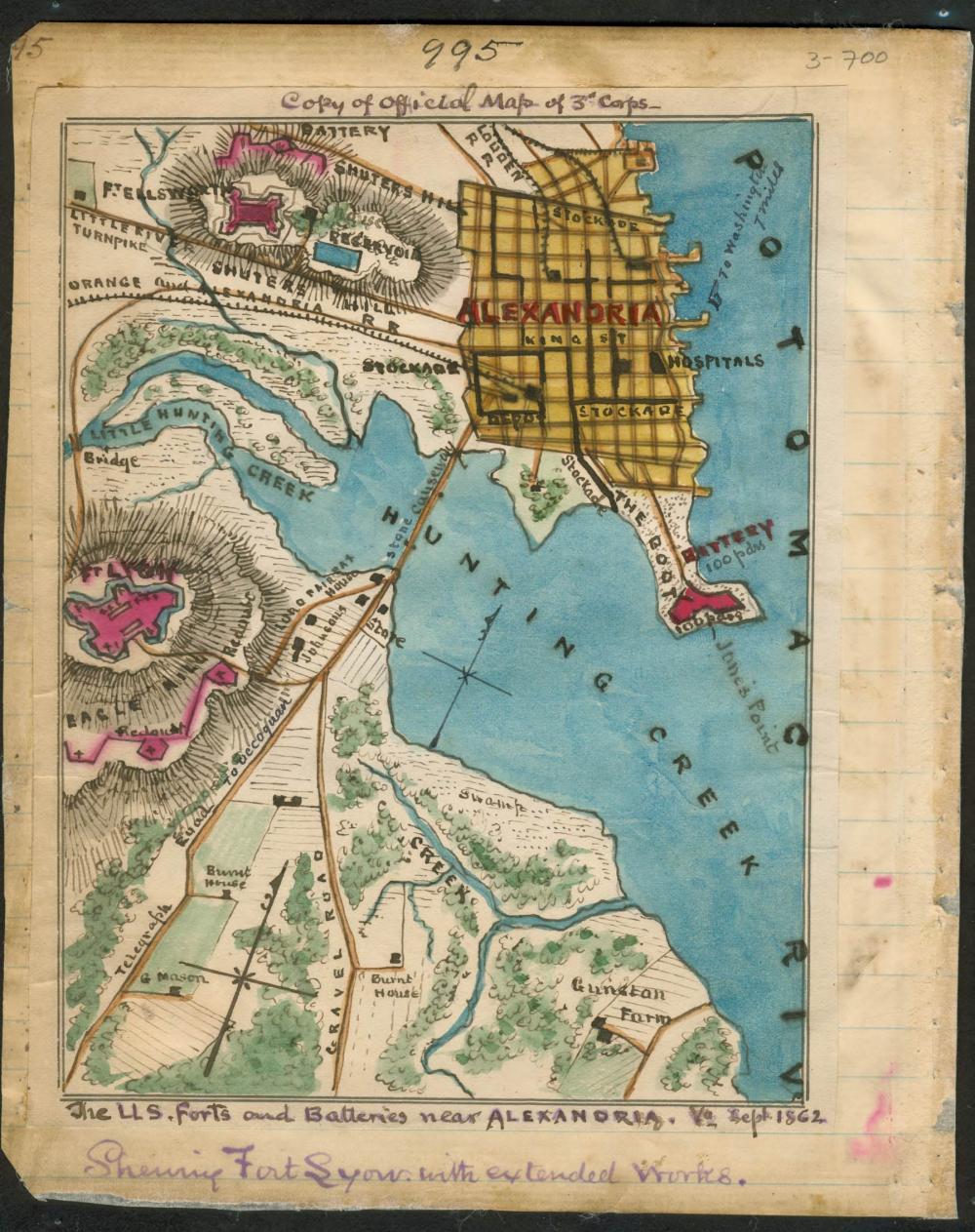
1862, Sneden Map of U.S. Forts and Batteries near Alexandria (Library of Congress)
1862, The U.S. forts and batteries near Alexandria Va. Sept 1862
Showing Fort Lyon with extended works
Robert Knox Sneden

Source: Library of Congress, Geography and Map Division.
Repository: Virginia Historical Society
Digital ID: gvhs01 vhs00110
  • Historic Alexandria
Contact Us
Alex311 | 703.746.4311
Follow Us
  • Facebook
  • Twitter
  • YouTube
Visitor Information

VisitAlexandriaVA.com

  • Emergency Hotlines
  • Social Media
  • Privacy & Legal
  • FOIA Requests
  • Departments
  • Jobs
  • Payments

Alexandria City Hall
301 King Street
Alexandria, VA 22314

City of Alexandria Seal
© 1995–2023 City of Alexandria, VA and others.
Hold on, redirecting...