Alexandria Historical Sign Finder
Alexandria Historical Sign Finder: History Around the City
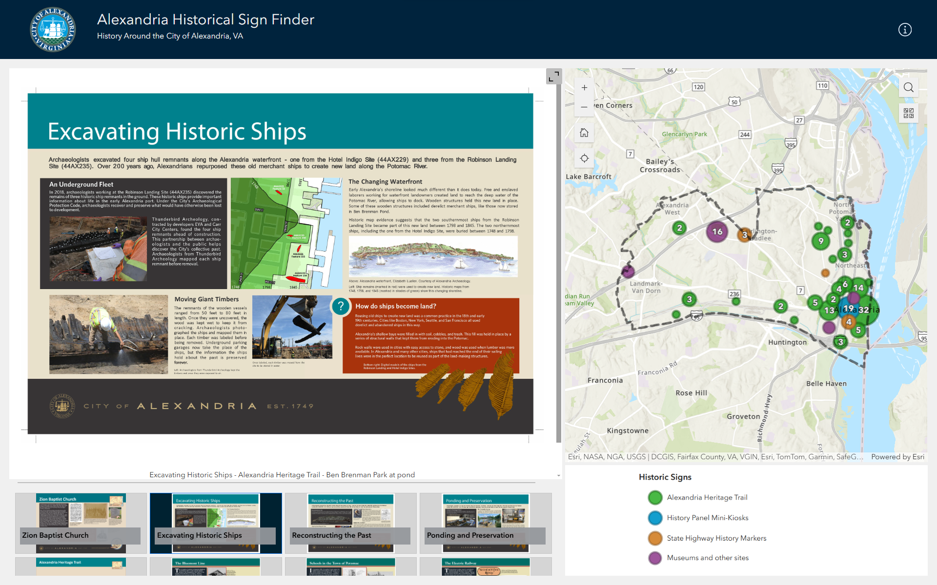
The Alexandria Historical Sign Finder: History Around the City is an interactive map designed for exploring historic interpretation signs throughout the City of Alexandria. The map provides digital access to Alexandria’s heritage as presented on signs. The goal of this interactive map is to make history signs created by or in partnership with the Office of Historic Alexandria easily accessible. Click the point you are interested in and read the sign. This map is meant to be an evolving repository for the research and stories about people and places in the past. As new signs are installed, the map will be updated.
This interactive map includes the following types of history interpretation:
- Alexandria Heritage Trail (red)
- King Street Corridor History Panel Mini-Kiosks (yellow)
- State Highway History Markers (blue)
- Museums and Other Sites (pink)
This interactive map does not include historic house plaques or signs by other organizations.
