Building a Bustling Port
18th Century - Building a Bustling Port
You are standing on manmade land that helped create a successful port.
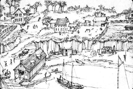
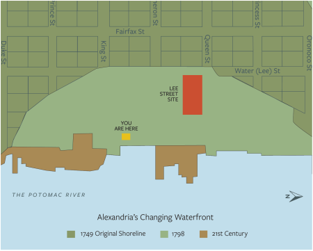
For thousands of years before the arrival of Europeans, Native Americans lived and traveled through the lands that would become Alexandria. The town was founded in 1749 on a bluff above a crescent-shaped bay. The original shoreline was along Lee Street, more than a block inland from where you are now standing. By 1784, the area between Queen and Cameron Streets was filled, making Union Street the new riverfront street.
"Alexandria is beautifully situated near the Falls of the Potomac, one of the finest Rivers in North America, it affords good Navigation for the largest ships in Europe up to the Town, where there is an excellent harbor. '' - The Pennsylvania Gazette March 10, 1763
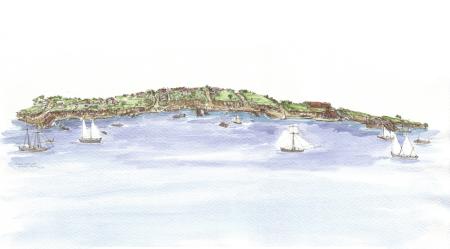
The Changing Waterfront
The natural harbor was too shallow for merchant ships to reach the shore. Free and enslaved people cut down the tall bluffs and used the soil as fill to create new land for wharves and warehouses teeming with seaport activity. One of these wharves was located at the Lee Street Site.
Wharves and Warehouses
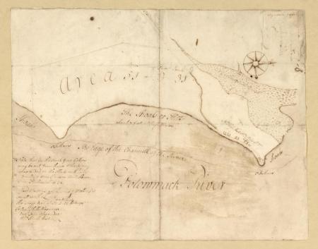
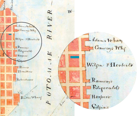
Many wharves dotted the shoreline in the late 18th and early 19th century. By the time this map was created in 1804, the Lee Street Site wharf had become a part of the land.
Wharves and warehouses provided docks for ships coming in and out of the port and formed the foundation for building out into the river. Merchant ships docked along the Alexandria waterfront to unload and load merchandise.
Alexandria's main exports were raw goods like tobacco and wheat. The city imported sugar and rum from the Caribbean and manufactured goods from Europe. The exploitation of enslaved people formed the foundation of this trans-Atlantic network.
Making Land on Lee
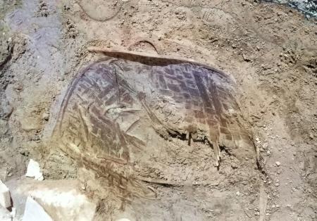
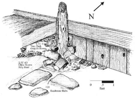
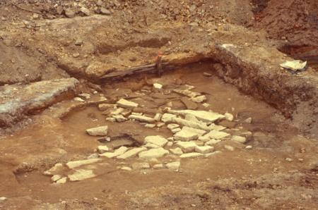
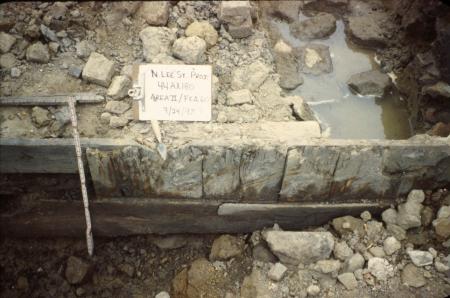
Archaeologists uncovered over 100 feet of a wooden wharf that extended east into the Potomac.
Two long lines of wooden posts were driven into the ground to hold new soil in place and extend the land into the river. Wharves were an important part of controlling the shoreline and making it useable.
Wharf
Archaeologists documented the remnants of an 18th century wharf on the Lee Street Site. The dashed lines show the likely edges of the wharf.

Rivers as Roads
The river connected Alexandria to the world. It was the way that people, information, and goods traveled. Newspapers, ship manifests, and customs records show the cargo that merchant ships carried and the places they traveled.
