
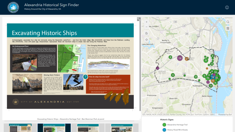
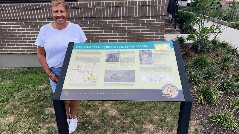
Wayfinding Signs and Interactive Maps


Self-Guided Walking Tours













Bike Tours
With more than 49 miles of on-street bike lanes, shared lanes, and trails, using a bike to quickly, safely, and enjoyably get around has never been easier. Learn about Bicycling in Alexandria, including Capital BikeShare, bike lane and trail projects, bicycle safety and more.
On the forested hills surrounding the Nation’s capital are remnants of a complex system of Civil War fortifications. Built by Union forces, these strategic earthworks transformed the young capital into one of the world’s most fortified cities. The Civil War Defenses of Washington Bike Trail is one way in which Alexandria, surrounding jurisdictions and the National Park Service marked the Civil War Sesquicentennial.
Explore Alexandria's Civil War sites on a 14.5 bike trail. A map, cue sheet and information on Civil War sites are provided for self-guided bike rides.
The Civil War Defenses of Washington Bike Trail
The Civil War Defenses of Washington (CWDW) Bike Trail is one way in which Alexandria, surrounding jurisdictions and the National Park Service marked the Civil War Sesquicentennial. The CWDW Trail is a segment of the Potomac Heritage National Scenic Trail, a developing network of trails and routes between the mouth of the Potomac River and the Allegheny Highlands.
The trail is also a loop on the Alexandria Heritage Trail, which has been designated as a part of the Potomac Heritage National Scenic Trail. Through five geographic regions, the varied segments of the Potomac Heritage National Scenic Trail are a means to explore the origins and continuing evolution of the Nation. To date, 830 miles of existing and planned trails have been recognized as segments of the Trail network.
Trail Map and Cue Sheet
The Map and Cue Sheet provide detailed directions for following the Alexandria Civil War Defenses of Washington Bike trail on your own. Note that most of the trail is on-road, so please take care and watch for traffic.
Major stops on the Trail include Fort Ward, Fort Worth, Fort Ellsworth, Alexandria National Cemetery, Alexandria Contrabands and Freemen Cemetery, and Battery Rodgers
A Note on Trail Safety
The Trails featured in this guide are for experience bikers only. Where possible, the trails use bikeway paths: a street or shared-use path either designed specifically for bicycle travel or with key design elements that support safe bicycle travel. However, many locations share streets with automobiles on high traffic roads and cross high traffic intersections or crossings. Forts by their design and location sit at the top of high topography and many bikers may find the hills associated with the trails a challenge.
The Defenses of Washington
When Virginia’s secession from the Union became effective on May 24, 1861, the capital city of Washington, D.C. was placed in imminent danger. Located directly across the Potomac River from Virginia, the Federal capital was vulnerable to a possible attack by the Confederate army.
On the morning of May 24, 1861, Federal troops moved into Northern Virginia to secure the capital and began building earthen forts to serve as supply bases south of the Potomac River. Construction of additional forts was dramatically accelerated on both sides of the Potomac River after the Confederate victories at the Battle of First Bull Run (July 1861) and the Battle of Second Bull Run (August 1862). By the time the war ended in April 1865, Washington, D.C., guarded by 164 earthwork forts and batteries known as the Defenses of Washington, had become one of the most heavily fortified cities in the Western Hemisphere. The only time Confederate forces attempted to penetrate this line of defenses was in July 1864, when Maj. Gen. Jubal A. Early attacked Fort Stevens, the northern-most fort in the system.
In Alexandria, the Defenses of Washington included Fort Ellsworth, Fort Williams, Fort Worth, and Fort Ward, now restored as a museum and historic site.
The Civil War Defenses of Washington Bike Trail Virginia Partnership
In August 2007, the Friends of Fort Ward submitted a grant application to the National Park Service, National Capital Region, Rivers, Trails, and Conversation Assistance Program for technical assistance to develop a biking/hiking Trail connecting the Civil War Defenses of Washington and selected Civil War sites on the Virginia side of the Potomac River. The partnership consisted of the City of Alexandria, Arlington County, VA, Fairfax County, VA and the George Washington Memorial Parkway. Members of the Washington Area Bicyclist Association also consulted during the project. The grant was awarded in the fall of 2008 and work began in the spring of 2009 working with National Park Service facilitators. During the Civil War there were 33 named fortifications, twenty-five batteries (locations for cannons between forts), and seven block houses South of the Potomac River. Many of these sites no longer exist but have been designated by historic markers. The partnership decided to host the routes on a web-based format to reduce costs and feature the trail segment in their jurisdiction to link historic sites and interpretation. The user will find a cue sheet with directions and interpretive information for trail stops that can be downloaded or printed. The grand opening of the trail was on National Trails Day, June 4, 2011.
Visit places where the events of the five-day British occupation of Alexandria occurred in late August 1814, on this 6.6-mile tour. Tour information includes Cue Sheet and printable or interactive maps. This route can be enjoyed on foot or bicycle. Most roadways are low volume, low speed and suitable for cycling except where noted in the cue sheet to go on paths or the sidewalk.
Three Star-Spangled Banner interpretive signs are located in Alexandria. "Raise the White Flag" is installed in Waterfront Park. "Plundered" located in the Torpedo Factory arcade, near the Timeline. "Fighting Back" is at the base of Shuter's Hill, across from the Callahan Drive crosswalk.
This bike tour was developed by the Alexandria Archaeology Museum in cooperation with the National Park Service and is part of the National Park Service’s Star-Spangled Banner National Historic Trail.
Alexandria and the War of 1812
On August 24 and 25, the British burned nearly every public building in Washington. From downstream on the Potomac River, the people of Alexandria could see the flames. Within days, a British fleet appeared from the south to take — or destroy — the port of Alexandria.
Militia from Alexandria and the surrounding countryside had been called into action earlier that month, taking nearly all the arms and artillery with them. With no way to defend the town, its leaders made the painful choice to capitulate. The British occupied Alexandria for five days, from August 29 through September 2. They spared the town in exchange for the peaceful surrender of all naval supplies, ships, and merchandise of every description. They sailed away with a hefty load, including 16,000 barrels of flour, 1,000 hogsheads of tobacco, 150 bales of cotton, and some $5,000 worth of wine, sugar, and other items.
Learn more about Alexandria and the War of 1812.
Trail Map and Cue Sheet
Tour information, including a turn-by-turn Cue Sheet and printable or interactive maps, is available through Ride with GPS.
Highlights are described below.
- Begin at the foot of Cameron Street on the Potomac River. Look upstream to Washington and the Capitol building and look across the river to the site of the Mount Welby plantation. From Mount Welby, the DeButts family witnessed the attack on Washington. Mary Welby DeButts wrote, “Our house was shook repeatedly by the firing upon forts & bridges [at Bladensburg], & illuminated by the fires in our Capital.”
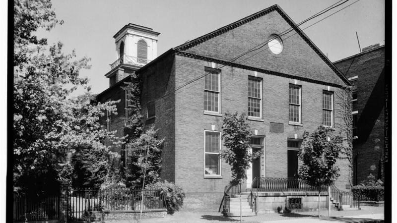
- On Fairfax Street, you’ll pass the Carlyle House and Gardens. A Carlyle grandson served in the War of 1812 and fought at the Battle of Bladensburg. A British officer on one of the ships that occupied Alexandria was related to the Carlyle family by marriage. You’ll also past the Stabler-Leadbeater Apothecary Museum, where business suffered during the war. At the Old Presbyterian Meeting House, in February 1814, Frances Scott Key spoke "for religious spirit instead of party spirit.”
- From South Lee Street, view the harbor where British ships once anchored. Continue into Jones Point Park and look downstream to where the British fleet first appeared on its approach to Alexandria. Then walk the riverfront and enjoy an overlook from the Woodrow Wilson Memorial Bridge.
- Stop by the old Presbyterian Cemetery off Wilkes Street, where Robert Allison, Jr. is buried. Allison, age 27, helped pursue the British as they left Alexandria and died in a conflict along the Potomac on September 5, 1814. He was described as an “affectionate son, a generous friend, and a useful member of society."
- On the cobblestone section of Prince Street, now known as Captain's Row, prosperous sea captains and ship masters built many Federal-style (1780-1830) homes.
- At the lower end of King Street, an American naval officer assaulted a British midshipman who was overseeing the removal of tobacco from a warehouse. The officer had ridden into town looking for a fight and almost provoked the British into destroying the town.
Star-Spangled Banner National Historic Trail
Discover the War of 1812 on the Star-Spangled Banner National Historic Trail — a path tracing troop movements through historic places, inspiring landscapes, charming waterfront towns, and waterways of the Chesapeake Bay region. Along the way, you’ll follow the story of the United States National Anthem and the citizens, soldiers, and leaders who faced British military might on home territory just thirty years after the American Revolution.