Living in a Floodplain
Am I in a FEMA flood zone?
Visit Virginia’s Flood Risk Information mapping tool and search by address.
Park property along many of the City's waterways and open spaces located within floodplains have been designated as natural floodplains.
- Four Mile Run Park includes about 18 acres of dedicated wetlands in the Four Mile Run floodplain.
- Fort Williams Park has dedicated open space in a natural forested environment, as well as recently restored natural areas located in the Strawberry Run floodplain.
- Dora Kelley Park, Brook Valley Park and All Veterans Park contain parklands and dedicated natural areas located within the Holmes Run floodplain.
- Tarleton Park and Cameron Run Regional Park contain natural open space and parklands in the Cameron Run floodplain.
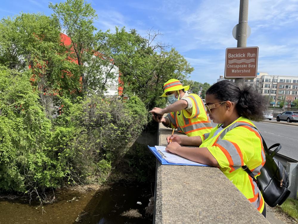
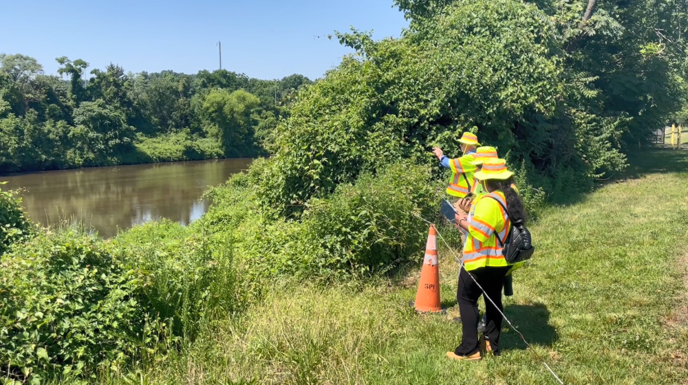
Use the City of Alexandria Rain Gauge and Stream Flow tool for real-time data of the City's rain gauge network!
The portal provides early warning information and data, such as how much rainfall has accumulated within the city's eight major watersheds.


Floodplain Benefits
• Reduce flood velocities and provide flood storage to reduce peak flows downstream by spreading over a large area.
• Create improved water quality and reduce the amount of sedimentation transported downstream by acting as a filter for stormwater runoff and flow.
• Reduce the frequency and duration of low flows of surface water by serving as a recharge area for groundwater.
• Provide habitat for diverse species of plants and animals, some of which can not live anywhere else.
• Moderate water temperature, which reduces potential harm to aquatic plants and animals.
Floodplain Hazards
• Alexandria is prone to flooding from heavy rainfall and tropical storms, creating overbank flooding from the Potomac River and its tributaries.
• In conjunction with development in low-lying areas and an overtaxed stormwater system, the tidal influence on the Potomac River can also contribute to flooding. Summer thunderstorms with high intensity-short duration rainfall are the most common flooding problem.
• The 100-year floodplain is the area that has a 1% chance of being flooded in any given year. Put another way, it has about a 26% chance of being flooded over the life of a 30-year mortgage. Smaller floods have a greater chance of occurring in any year and can create a significant flood hazard to people and property close to the channel.
Property Protection Measures
The City’s Engineering Department can help you determine which method is most appropriate for your home, and if you will need permits to make permanent retrofits. Grant funding may be available if you elevate your home above flood level.
Before a flood:
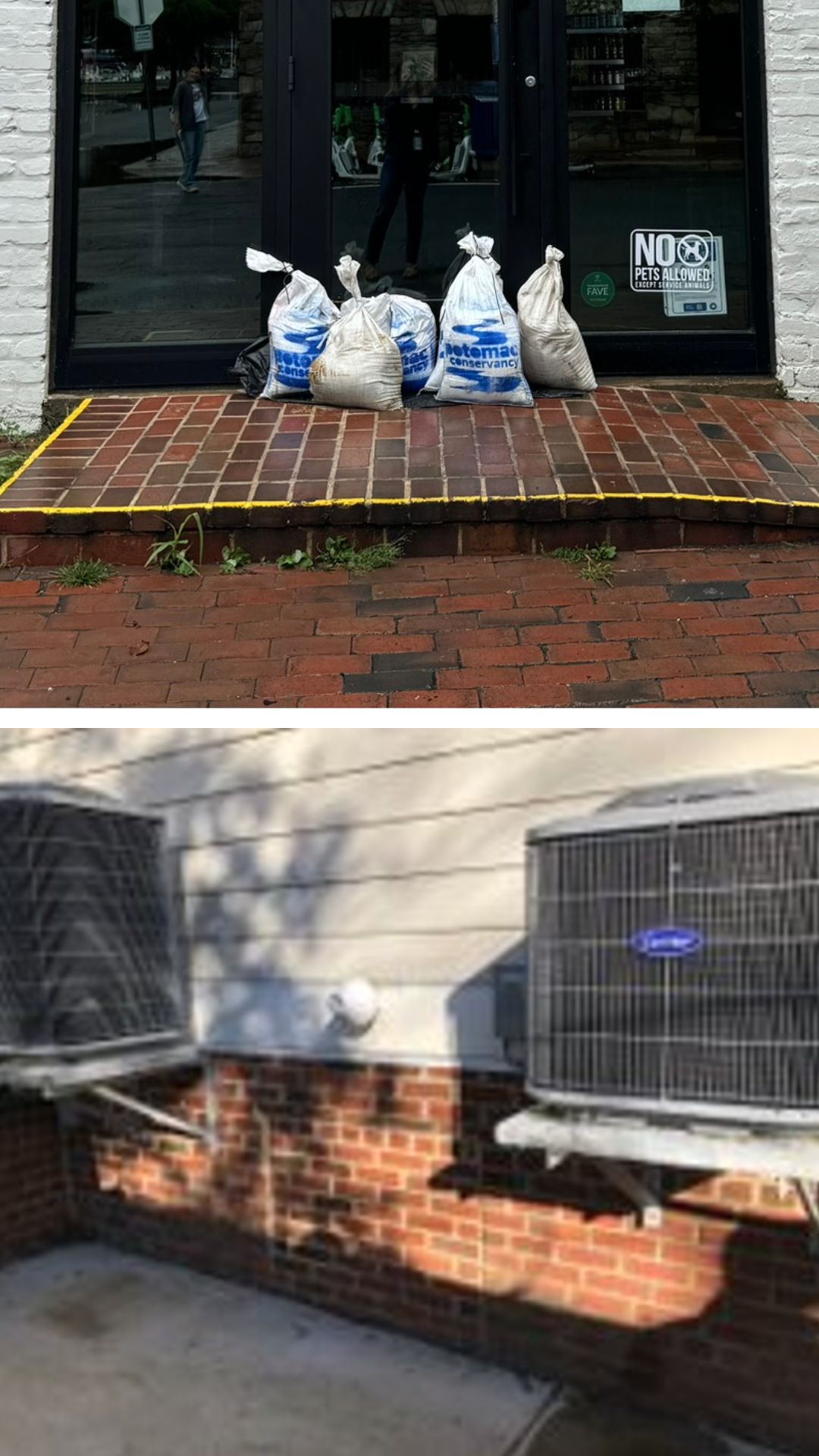
- Place sandbags or plastic sheeting in front of doorways and other low entry points.
- Elevate furniture above flood protection levels.
- Move valuables to a higher level.
- Create floodway openings in unhabitable areas such as garage doors.
- Seal off sewer lines to the dwelling to prevent backflow of sewer waters.
Permanent Changes:
- Regrade the lot.
- Build a small floodwall or earthen berm. This can be helpful for some houses on slab foundations.
- If your house is on a crawlspace, a low floodwall, berm, or “we floodproofing” may help. Wet floodproofing means moving all items subject to flood damage out of harm’s way so water can flow into the crawlspace without causing problems.
- Make the walls waterproof and put watertight closures over doors. This is called “dry floodproofing.”
- If floodwaters go over the first floor, you can raise the building above flood protection levels.
- Relocate electrical panel boxes, furnaces, water heaters, washers and dryers to an elevated location less likely to be flooded.
2024 FEMA Maps
Alexandria is participating in a Flood Insurance Study being conducted by the Federal Emergency Management Agency (FEMA) to update the City’s current floodplain maps. Floodplain maps inform communities about local flood risk. The maps help set minimum floodplain standards, which helps communities build safely and resiliently, and they also determine the cost of flood insurance, which helps property owners financially protect themselves against flooding. A few FEMA resources are linked here:
What Flood Map Updates Mean for You
FEMA’s Flood Insurance Advocate Explains NFIP Basements (Video)
Defining a Property’s Unique Flood Risk (Video)
Flood risk changes over time due to weather patterns, land development, and erosion. The changes are likely to affect some residential and commercial property owners, who may need to obtain coverage under a new flood insurance policy or alter existing policies. This effort is unrelated to recent flooding the city has experienced from flash flooding in July 2019 and, more recently, on July 23. The storm on July 23 dropped 2.5 to 3 inches of rain in 30 minutes, creating a brief, extremely high-intensity event that caused significant flash flooding in many areas, including some not normally impacted by flooding. Visit the City’s Flooding and Drainage web page for Frequently Asked Questions about flooding, as well as more on planning and prioritization efforts for projects that will address flooding and drainage issues in less extreme cases.
2024 Final Maps
On July 11, 2023, the Federal Emergency Management Administration (FEMA) published the FEMA Letter of Final Determination (July 11, 2023) certifying FEMA’s new maps in Alexandria as the latest and best information on the FEMA delineated Special Flood Hazard Areas (SFHA), or the 1%-chance-per-year flood inundation zones (100-year floodplain). The new maps became effective January 11, 2024. The City is required by FEMA to regulate any development in the SFHA to the new maps as of July 11, 2023.
Updated FEMA Map Process
It is important for residents and business owners to know current flood risks if residences or businesses are in a FEMA 100-year floodplain, or property is susceptible to damage from any type of flooding that may occur. Residents and business owners can take steps to protect themselves and their property.
Preliminary maps, revised maps, information on the appeal process, and recorded Zoom outreach videos are provided below.
The updated FEMA map process schedule
A flood map change typically takes 36 months.
- New Maps Effective – January 11, 2024
- FEMA Issues Letter of Final Determination (LFD) – July 11, 2023
- Preliminary Maps Updated and Re-Published – May 30, 2022
- FEMA's responses to appeals Jan. 31, 2022
- Appeals period ended Oct. 20, 2021
- Public Review and Comment (Appeal) Period – Began July 22, 2021 and lasts for 90 days
- FEMA Community Open House – March 1, 2021
- Publish Preliminary Maps – September 2020
2022 Revised Preliminary Maps (12/1/2022)
2020 Preliminary Maps (9/30/2020)
Public Meetings and Information
- FEMA Map Update Open House (Click here to see the slides and here for the Zoom recording of the presentation which starts at the 5:19 mark.)
Monday, March 1, 2021 at 7:00 p.m. This event walked the community through the FEMA map update process and was managed by City staff.
The City hosted a series of virtual meetings targeted to residents and businesses within the floodplain during the months of May and June. Neighborhoods were broken up by watershed and also by the FEMA preliminary map number (note, some maps span more than one watershed). To find what watershed your property is located in, use the Watershed Tool.
- Four Mile Run (FEMA preliminary map numbers 5155190033F and 5155190029F) – May 19, 2021, 7 p.m.
- Potomac River/Old Town (FEMA preliminary map numbers 5155190033F and 5155190041F) – May 24, 2021, 7 p.m.
- Hooff’s Run (FEMA map number 5155190041F) – June 2, 2021, 7 p.m.
- Cameron Run, Backlick Run, Strawberry Run, Taylor Run (FEMA preliminary map numbers 5155190017F, 5155190036F, and 5155190037F) – June 7, 2021, 7 p.m.
- Holmes Run (FEMA preliminary map numbers 5155190009F and 5155190028F) – June 29, 2021, 7 p.m.
- Click here for the presentation and here for Zoom Webinar Recording
FEMA Appeal Process
The second appeal process begins Dec. 15, 2022.
The 90-day appeal process for the revised FEMA Flood Insurance Rate Map (FIRM) and Flood Insurance Study (FIS) report began on July 22, 2021. Residents may submit an appeal if they perceive that modeling or data used to create the map is technically or scientifically incorrect. Please follow these guidelines when submitting an appeal:
- An appeal must include technical information, such as hydraulic or hydrologic data, to support the claim.
- Appeals cannot be based on the effects of proposed projects or projects started after the study is in progress.
- If property owners see incorrect information that does not change the flood hazard information — such as a missing or misspelled road name in the Special Flood Hazard Area or an incorrect corporate boundary — they can submit a written comment.
Questions or appeals:
Email
stormwater@alexandriava.gov
Mail
Brian Rahal, P.E., CFM,
Transportation & Environmental Services
2900B Business Center Drive
Alexandria, VA 22314
FEMA documents for appeals for 2021-2022
Flood Insurance
Alexandria participates in the National Flood Insurance Program (NFIP). Because City engineers regularly inspect floodplains and stormwater management staff complete activities in 17 categories annually as part of the federal Community Rating System program, Alexandria residents are entitled to up to a 20% discount on flood insurance premiums. Residents with a preferred risk flood policy (PRP) can receive a reduction up to 5% on insurance premiums.
There are two types of coverage:
- Structural coverage covers everything that stays with a house when it’s sold, including cabinets, built-in appliances, and wall-to-wall carpeting. The maximum amount of structural coverage is $250,000 for residential policies and $500,000 for commercial policies.
- Contents coverage covers furniture and other personal possessions except money, valuable papers, etc. Renters may purchase contents coverage, even if the owner does not buy structural coverage. The maximum amount of contents coverage available for residential policies is $100,000 and $500,000 for commercial policies.
Local insurance agents are permitted to sell an NFIP flood insurance policy to everyone (residences and businesses) under the rules and standards set by the federal government. Any house or business in Alexandria can be covered by a flood insurance policy, and the average cost is less than $750 per year. Detached garages and other accessory buildings may also be covered under the policy for the main building on the lot. Check with your insurance provider for more details.
Don’t wait until the next flood to buy insurance. There is a 30-day waiting period before the NFIP coverage goes into effect. For information on flood insurance, visit www.floodsmart.gov.
For Property Owners
The NFIP and the City of Alexandria require that if the cost of reconstruction, rehabilitation, additions or other improvements to a building equal or exceed 50% of the building’s market value, then the building must meet the same construction requirements as a new building. Substantially damaged buildings must be brought up to the same standards. This means that a residence damaged where the cost of repairs equals or exceeds 50% of the building’s value before it was damaged must be elevated above the base flood elevation (BFE).
Before proceeding with repairs or improvements to a damaged structure, contact the Department to Code Administration 703.746.4200.
For Developers
Any development in the floodplain (not just the construction of buildings, but bringing in fill or storage of material) requires a permit. Our City's Zoning ordinance captures the requirements; however, you should first contact the Floodplain Administrator at 2900-B Business Center Drive, 703.746.6499, to find out exactly what is required.
Any illegal floodplain development should be reported to this office as well. Email stormwater@alexandriava.gov for Elevation Certificates of recent construction on file available to the public upon request. The Code Administration phone number is 703.746.4200 and the Floodplain Administrator at 703.746.6499.
Flood Insurance Rate Maps
The City of Alexandria has detailed, digital flood hazard maps that reflect current flood risks to provide reliable information about flood risks on a property-by-property basis. These maps amend flood maps from 1991 and 2011. The new maps became effective January 11, 2024.
2024 Flood Insurance Rate Maps - Effective January 11, 2024
5155190009F
5155190027F
5155190028F
5155190029F
5155190031F
5155190033F
5155190036F
5155190037F
5155190041F
2024 Flood Insurance Study (FIS)
2024 Revalidated Letters of Map Change (LOMC, LOMA, LOMR-F, etc.)
The FEMA Flood Maps are also available for viewing at all Alexandria Public Libraries: alexlibraryva.org
2022 Flood Insurance Rate Maps - Final Revised
2011 Flood Insurance Rate Maps
The City of Alexandria has detailed, digital flood hazard maps that reflect current flood risks to provide reliable information about flood risks on a property-by-property basis. These maps amend flood maps from 1991.
- 2011 Flood Insurance Rate Maps (all maps in a single file : 29 MB)
To locate the floodplain near your property on these maps:
1. Click on "2011 Flood Index Map" below to view the index map.
2. Locate and make note of the map number (ex: 5155190009E) that corresponds to your property location.
3. Come back to this page and click on the noted map number below to view that map (adobe PDF): 2011 Flood Index Map FEMA Flood Insurance Study
Flood Safety Measures

- Pay attention to evacuation orders. Know about evacuation routes and nearby shelters and have plans for all family members on evacuation procedures and where to meet if you are separated during an emergency.
- Do not drive through flooded areas. Don’t drive around road barriers- the road or bridge may be washed out.
- Do not walk through flowing water. Currents can be deceptive; six inches of moving water can knock you to the ground. If you must walk through standing water, use a stick or pole to help you locate the ground.
- Stay away from power lines and electrical wires. Electrical currents can travel through water. Report downed power lines to Dominion Virginia Power at 1.888.667.3000.
- Have the power company turn off your electricity. Some appliances keep electrical charges after they are unplugged. Don’t use appliances or motors that have gotten wet unless they have been taken apart, cleaned, and dried.
- Look before you step. After a flood, the ground and floors may be covered with debris like broken bottles or nails. Floors and stairs that are covered with mud can be slippery.
- Use a flashlight to inspect damage and be alert for gas leaks. Don’t smoke or use candles, lanterns, or open flames unless you know the gas has been shut off and the area has been ventilated.
Flood Mitigation Maintenance
To mitigate flooding, the City conducts maintenance on storm drains and streams that become clogged with debris, soil erosion and overgrowth of vegetation. The City also investigates illegal dumping that can threaten the quality of waterways and contribute to flooding.
• Report localized drainage problems to T&ES Maintenance at 703.746.4488.
• Request maintenance service on storm drains or streams through Alex311.
• Report illegal dumping to T&ES Stormwater Management Division at 703.746.6499.
Notable flooding events
• Severe thunderstorms on Aug. 14, 2021
• Severe thunderstorms on Sept. 10, 2020
• Severe thunderstorms on July 23, 2020
• Severe thunderstorms on July 8, 2019
• Tropical Storm Lee on September 11, 2011
• Significant storm event on June 25, 2006
• Hurricane Isabel on September 18, 2003
• Hurricane Agnes June 21 to 23, 1972
Resources
- City's storm sewer system
Following flooding in June 2006, the City of Alexandria launched a review of its storm sewer system to identify flooding areas and develop and prioritize solutions. The Storm Sewer Capacity Analysis (CASSCA) project was completed in February 2016.
City of Alexandria Storm Sewer Capacity Analysis - Which watershed do you live in?
Watershed Tool - FEMA flood map updates questions & answers sheet
- Learn about FEMA's Risk Rating 2.0 which might impact your federal flood insurance rates
- CRS Community Certification
- Flood Hazard Mapping Fact Sheet
- CRS Cycle Verification - September 2025
Flood Warning Procedures
Flood warnings are forecasts of impending storms and are broadcast to the public by the NOAA Weather Radio, commercial radio, TV stations, and local emergency agencies. Alexandria has developed a flood warning system to notify residents of impending floods.
Subscribe to the City’s eNews alert system to receive City messages.
Warnings will be disseminated by local radio, including stations WTOP, and DC101, and local television stations including NBC4/WRC, FOX5/WTTG, ABC7/WJLA, and CBS9/WUSA. The flood warning system is intended to provide up to one half hour of advance warning of a flood hazard. By paying attention to weather alerts, you will have enough time to protect your property or evacuate. The National Weather Service local forecast office transmits flood advisories, watches and warnings on frequency 162.550 MHz. Anyone with a NOAA Weather Radio can receive this information. The Emergency Alert System (operated by the FCC in cooperation with FEMA and NOAA) allows the public to be notified via commercial radio, cable TV and broadcast TV of emergency messages from the National Weather Service or local civil authorities.
Contact
Brian Rahal, P.E., CFM
Transportation & Environmental Services
2900B Business Center Drive
Alexandria, VA 22314
703.746.4057
Brian.rahal@alexandriava.gov